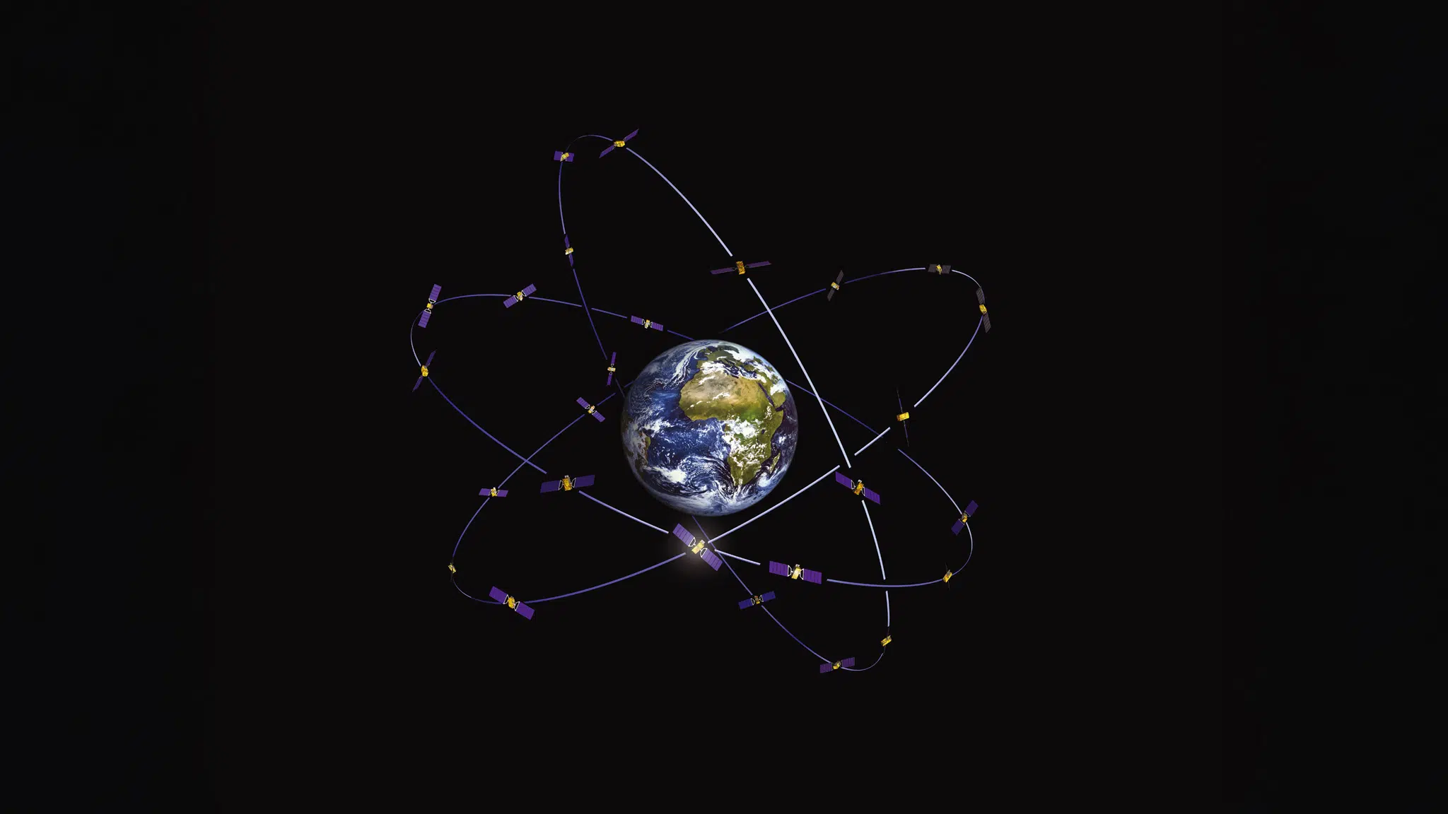
Dependence on satellite navigation, such as GPS and the comparable European Galileo, has increased significantly in recent years. We use it for a wide range of applications, from traffic navigation to precision agriculture and the management of critical infrastructure. However, this dependence also comes with risks. Failures and cyber attacks can disrupt positioning and timing systems, with potentially serious consequences.
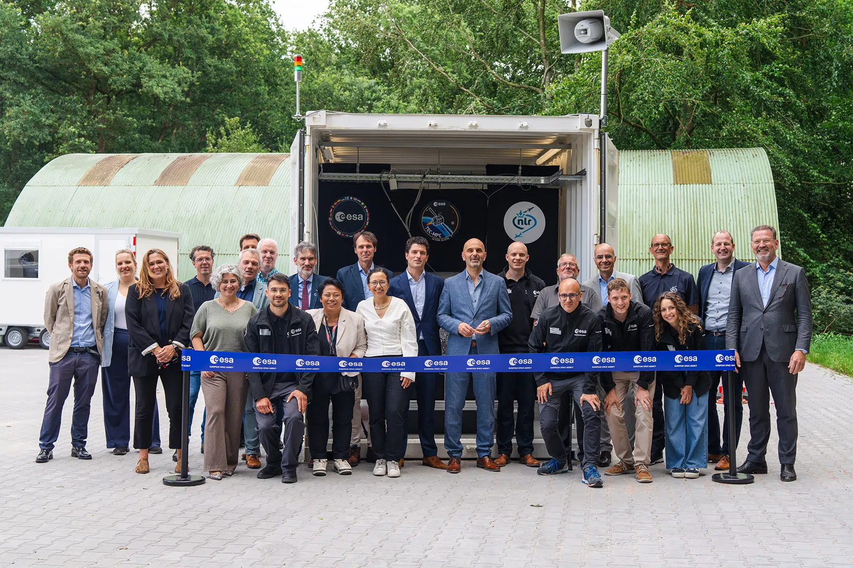
To mitigate these risks, the PNT portal (Positioning, Navigation and Timing) was developed. This website offers a new toolkit to help users identify and mitigate the risks associated with using satellite navigation. According to Annemarie van Zwol, R&D Engineer at NLR, the PNT portal was developed in collaboration with industry and government experts and is intended to support users in managing the risks associated with satellite navigation.
Annemarie: ‘The PNT-portal offers a wide range of tools and resources, including a risk assessment tool, which helps users identify and prioritise the risks associated with their specific use. The portal also offers information on the latest developments in the area of satellite navigation and the potential risks associated with this.’
Use of the toolkit
Using the PNT portal is easy and free of charge. Users can complete a so-called resilience assessment without their data being stored and gain access to the toolkit and other resources. The portal is intended to increase knowledge on Global Navigation Satellite Systems (GNSS), make users aware of the risks associated with satellite navigation and help them make their positioning and timing systems safer and more reliable.
‘We encourage all users of satellite navigation to visit the PNT portal and to use the toolkit and other resources it offers,’ Annemarie says. ‘The availability of reliable satellite navigation data is simply not a given. By properly educating yourself about the risks associated with satellite navigation and using the PNT portal, you can make your positioning and timing systems safer and more reliable.’
The PNT portal was launched on behalf of ESA and the Ministry of Infrastructure and Water Management, with the aim of increasing knowledge of GNSS and making users more aware of vulnerabilities introduced in business operations when using GNSS. Based on this, the toolkit was carefully compiled by the GNSS Centre of Excellence, a collective of Dutch parties with considerable expertise in GNSS, including CGI, NLR and S[&]T.