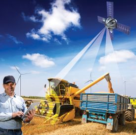
Sensor data used for smart farming
Using aerospace engineering analysis techniques, NLR has conducted tests aimed at facilitating higher yields for the potato crop.
For the farmers participating in the project, the results were interesting. They of course know their parcels of land very well, yet the actual situation can be surprising. If a crop is not growing well, yet had grown well during the previous month, the farmer can use the data to help determine the reasons behind the growth deficiency.
For SmartFarming, NLR integrated freely accessible satellite data and other data, such as satellite data from the Netherlands Space Office (NSO), data pertaining to terrain heights (AHN), water-level data from the national water agencies, annual land crop records (BRP), soil maps, drone data, meteorological data, and data from the vegetation and soil scanners affixed to tractors.
NLR has compiled this massive amount of data in a web application, wherein the information can be easily accessed and compared. An initial effort was made to produce combination maps; for example, maps that combine the organic matter content in a parcel’s soil and the health of the vegetation. In this web application, agricultural advisers and farmers can combine data, thereby allowing those involved to gain new insights.
NLR is engaged in SmartFarming on behalf of the province of Flevoland, the Noordoostpolder municipality and LTO, and in collaboration with SME companies from the region, such as Ecoflight, Infram, Weevers agricultural mechanization, and ProfytoDSD.
The optimum methods for using large, heterogeneous data and imagery (big data) is still in the experimental stage, and for an individual SME, these remain difficult to access assets. NLR is therefore conducting the SmartFarming project as part of SensorWorld. In SensorWorld, NLR, SMEs and research institutions have the ambition to deploy sensors used in aerospace engineering for other sectors, such as agriculture, urban development in Delta areas, energy, and critical infrastructure monitoring.
The cross-over of Flevoland knowledge institutions from the top sector HTSM (NLR) and Agro&Food (Dronten Agricultural College/WUR), and collaboration with regional companies (including the AgroFoodCluster in Emmeloord), have been key starting points for making SmartFarming a success.
Also visit our Geomatics and Earth Observation capability page.

